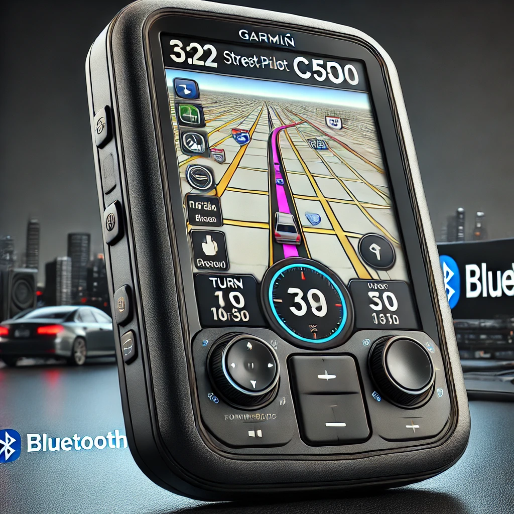
What is the StreetPilot c550?
The Garmin StreetPilot c550 is a portable GPS navigation device designed primarily for automotive use. Released in the mid-2000s, the c550 was part of Garmin’s StreetPilot series, offering a range of features that made it popular among drivers looking for reliable, real-time navigation. Some of its standout features include:
- Turn-by-Turn Directions: Provides spoken directions with street names (text-to-speech), allowing drivers to focus on the road.
- Preloaded Maps: Comes with detailed maps of North America (U.S., Canada, and Puerto Rico).
- Bluetooth Hands-Free Calling: Allows users to make and receive phone calls directly through the device using Bluetooth connectivity.
- Real-Time Traffic Updates: Receives live traffic data through the MSN Direct service, helping drivers avoid congested routes.
- Points of Interest (POI): Contains millions of preloaded POIs, such as gas stations, hotels, restaurants, and other notable destinations.
- Built-in MP3 Player: Offers entertainment options during long drives.
The StreetPilot c550 was well-regarded for its intuitive interface, high-quality touch screen, and accurate GPS signal reception. Though it’s an older model, it laid the groundwork for many of the advanced GPS features we see today.
Changelog from Version 5.70 to 6.10: Key Updates and Improvements
This section outlines the major changes and fixes implemented between versions 5.70 and 6.10 for the Garmin StreetPilot c550:
Changes Made from Version 6.00 to 6.10:
- Added support for MSN Canada: Users in Canada gained access to the MSN Direct service, which provided real-time traffic, weather, and other location-based information.
- Addressed an issue of missing MSN Direct movie times: Fixed a bug where movie showtimes from MSN Direct were not displaying correctly.
- Addressed an issue in GPS Buddy where outgoing messages could be stuck in the queue: Resolved an issue where messages in the GPS Buddy service were not being sent due to a jammed message queue.
- Addressed an issue with Cyclops speed camera cache: Fixed a problem related to the cache for Cyclops speed camera alerts, ensuring the data was accurate and up-to-date.
Changes Made from Version 5.70 to 6.00:
- Fixed problem with the same map existing in two regions: Corrected an issue where maps would overlap between regions, improving map accuracy.
- Updated traffic translations: Enhanced the translations for traffic notifications, making them clearer for non-English-speaking users.
- Fixed issue with backlight when position is north of the Arctic Circle: Solved a problem where the screen’s backlight would malfunction for users navigating in extreme northern latitudes.
- Fixed issue with ejecting device from a Mac computer: Improved compatibility with Mac systems by addressing a bug that prevented safe ejection of the device.
- Fixed issue where the avoidance option ‘Unpaved Road’ was not being saved: Ensured that the preference to avoid unpaved roads would be stored properly in user settings.
- Added notification for advance reservation discounts with Savers Guide: Introduced alerts to inform users about discounts at lodging establishments through the Savers Guide program, encouraging reservations in advance.
- Fixed street name display with special characters (l’, d’): Resolved issues where certain special characters in street names were not displaying correctly.
- Fixed issue with saving settings when Locale is selected as ‘Other’: Corrected a bug where settings would not be saved properly when users selected ‘Other’ as their locale.
- Fixed issue where road name was sometimes used instead of highway number: Improved route guidance by ensuring the correct road identifier (highway number or road name) was used in directions.
- Added traffic support for UAE and Australia: Expanded the availability of real-time traffic data to users in the United Arab Emirates and Australia.
- Updated the locations of Garmin waypoints: Refined the locations of built-in Garmin waypoints to ensure better accuracy.


